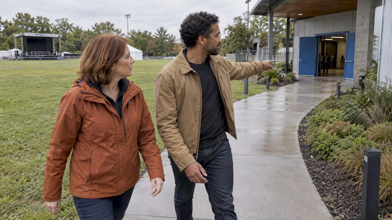
A weather contingency plan is a written decision system, not a rain date. It names the hazards that could affect your event or operation, the exact thresholds that trigger action, the one person who decides, and how everyone hears about it. The National Weather Service (NWS) describes it as a plan that covers which hazards could hit, what the sheltering and evacuation options are, how people will be alerted, and how long notification and evacuation or sheltering will take. We are certified consulting meteorologists, and the plans that work are the ones where a meteorologist's analysis is connected to a pre-agreed action before the first cloud builds.
TL;DR
- Define hazards and numeric thresholds in advance, so nobody debates in the middle of a storm.
- Start monitoring at least three days before the event, and name a weather watcher and a single decision-maker with a backup.
- Work backward from how long it takes to shelter or evacuate your site: that time sets how early you must act.
- Write the plan down, share it with vendors and partners, and rehearse the communication chain.
- Site-specific forecasting for event organizers comes from private-sector meteorologists, which is where a same-day consulting meteorologist fits.
Table of Contents
- What a weather contingency plan has to answer
- Step 1: Assess the weather risks at your specific site
- Step 2: Set thresholds and triggers
- Step 3: Know the safety facts behind each hazard
- Step 4: Name the people who monitor and decide
- Step 5: Build a monitoring timeline
- Step 6: Plan power, shelter and logistics
- Step 7: Communicate the decision
- Step 8: Write it down, rehearse it, then revise
- Where a consulting meteorologist changes the outcome
- Our perspective
- Work with a meteorologist on your plan
- FAQ
- Sources
What a weather contingency plan has to answer
Every good plan answers five questions in writing:
- Which weather could hurt people, property or the schedule at this site?
- At what measurable level do we act?
- Who decides, and who monitors?
- What exactly changes (delay, shelter, relocate, cancel), and where do people go?
- How do we tell staff, vendors, guests and responders, and how do we restart?
The rest of this guide takes them in order. If you run a business rather than an event, read "attendees" as crews, drivers, tenants or customers: the logic is the same for a construction site, a logistics yard or a stadium parking operation. For the construction side in particular, our guide on construction weather delays, causes, claims and prevention goes deeper.
Step 1: Assess the weather risks at your specific site
Generic risk lists fail because hazards depend on place and setup. The NWS Event Ready Guide recommends discussing potential hazards, considering what magnitude would cause action, and surveying the location for inherent hazards such as utility lines that high winds could bring down.
Some events deserve extra attention. Florida State University's 2026 guidance calls for extra caution, advanced planning and proactive monitoring for crowds over 500, special populations such as elderly people, minors or people with disabilities, tents, inflatables, events spread over a wide area, and limited shelter capacity nearby. If your event ticks two or three of those boxes, your plan needs more than a printed forecast.
Timing matters as well. The NWS Green Bay planning guide notes that peak tornado and high wind occurrence both fall between 4 and 9 pm, which is when many evening programs, concerts and shift changes are at their busiest.
A practical site risk review looks like this:
| Question | What to write down |
|---|---|
| Which hazards are realistic for the season and region? | Lightning, wind, heavy rain or flash flooding, heat, cold, snow |
| What structures or equipment are vulnerable? | Tents, stages, inflatables, signage, cranes, power lines |
| How many people, and who needs extra help? | Peak headcount, children, older guests, mobility needs |
| Where is the nearest real shelter and what does it hold? | Building name, capacity, walking time |
| How long does it take to clear the site? | Minutes from decision to everyone sheltered |
Step 2: Set thresholds and triggers
The single most useful thing in a contingency plan is a trigger. Alliant, an insurance and risk advisory firm, describes a documented trigger as one that connects a meteorological update or observed condition to a predetermined action, with the hazard, the threshold, the person who receives the alert and the action all spelled out.
For a real set of numbers, look at a published example. Florida State University's guidance lists cancellation triggers during an event of an observed heat index above 108°F, wind chill below 0°F, winds above 35 mph, or winds above 20 mph when tents or inflatables are in use. Temporary postponement triggers include a tornado, severe thunderstorm or flash flood warning, and lightning within 8 miles. Your numbers will differ with your site and structures, but the format is the point: a hazard, a number, an action.
Here is a template you can adapt:
| Hazard | Trigger (example format) | Who is alerted | Action |
|---|---|---|---|
| Lightning | Lightning within 8 miles | Weather watcher, then decision-maker | Stop activity, move everyone to shelter |
| Wind | Sustained or gusting wind at your structure limit | Production lead | Lower or clear tents and stages |
| Heavy rain | Flash flood warning for the venue area | Safety lead | Move to higher ground, hold vehicle traffic |
| Heat | Heat index in the danger range | Medical lead | Shade, water, breaks, reduced program |
| Cold or snow | Wind chill or accumulation at your limit | Operations lead | Limit outdoor time, delay or cancel |
Step 3: Know the safety facts behind each hazard
Thresholds should rest on official safety guidance. The NWS Hazardous Weather Action Plan template gives the baseline:
- Lightning: when lightning is seen or thunder is heard, stop outdoor activity and direct everyone to shelter, then wait approximately 30 minutes after the last thunder before resuming.
- Wind: winds of 40 mph or greater can produce damage, and the NWS issues a Severe Thunderstorm Warning when winds are expected to exceed 58 mph. Hail of 1 inch or larger can harm anyone caught outside without shelter.
- Flooding: six inches of moving water can knock a person off their feet, so the guidance is to seek higher ground.
- Heat: water, light-colored clothing, breaks in shade or air conditioning, and avoiding alcohol or caffeine.
- Cold: stay indoors if possible, cover exposed skin, dress in warm layers and limit time outside.
On heat, the NWS Quad Cities guide states that a heat index of 105 to 129°F is in the Danger range, where heat exhaustion is likely and fatal heatstroke is possible with prolonged exposure, and 130°F or higher is Extreme Danger. For lightning, the NWS Denver/Boulder page recommends plans to shelter for thunderstorms within 8 miles of the venue.
The time to clear the site changes everything. DuPage County's Event Ready guide, citing NOAA and NWS guidance, says all outdoor personnel should be indoors before lightning is within 8 miles, and that if sheltering takes 30 minutes, evacuation should begin more than 30 minutes before the bad weather arrives. A festival with a 40-minute clearing time needs a trigger that fires well before the storm is overhead, which is why the trigger has to be tied to forecast lead time and not to what you can see.
One caution on lightning forecasts: CISA's lightning guide quotes NOAA that it is impossible to forecast individual strikes because lightning is so widespread, frequent and random. Prediction systems instead support early warning, faster communication and decisions on whether to resume, postpone, relocate or reschedule. That is exactly the kind of judgment call a meteorologist on your team makes.
Step 4: Name the people who monitor and decide
The NWS Denver/Boulder page says a plan should establish weather thresholds, designate shelter areas and designate a weather watcher who monitors forecasts and current conditions. The NWS Event Ready Guide adds that an effective weather liaison should understand the event's thresholds and evacuation or sheltering times, have reliable and redundant communication methods and up-to-date radar.
Decision authority is a separate question. Brown University's event planning guide says a severe weather plan should outline when storm contingencies will be activated and who will make that decision, and what will change and how it will be communicated to partners, vendors, participants and guests. Alliant advises that during an active situation a committee may not decide fast enough, and recommends one designated leader with authority to delay, shelter, evacuate or cancel, plus a named backup and an escalation process. Monitoring and decision authority may belong to different people, and that is fine as long as the hand-off is written down.
A one-paragraph role card for each person works well: name, phone, backup, what they watch, what they can order.

Step 5: Build a monitoring timeline
The NWS Event Ready Guide recommends that weather monitoring begin at least three days before the event. A workable timeline:
- Weeks out: review seasonal risk, choose shelter, pick the decision-maker, write triggers. This is also the time to settle backup dates, tent contracts and vendor terms.
- Three days out: start formal monitoring, brief the weather watcher, confirm contact lists.
- 24 hours out: go or adjust call on setup, staffing and structures. Confirm shelter access and who unlocks it.
- Event day: continuous radar and warning monitoring, with scheduled check-ins at set times.
- After: document what happened, what the forecast said and what you did, then revise the plan.
The NWS notes that its own role at special events is limited. Its directive on special event support states that NWS personnel will not provide specialized, site-specific forecasts or direct forecasting support to event organizers, and that enhanced support, including customized and highly localized forecasts and warnings, may come through the private weather industry. For organizers, that makes a consulting meteorologist who knows your site the natural source of the localized call. We cover how that works for large outdoor events in our guide to festival weather forecasting.
Step 6: Plan power, shelter and logistics
Sheltering is more than naming a building. Check capacity against peak headcount, plan routes for accessibility needs, and decide what happens to vehicles, stages and vendor equipment. If the event runs on generators, a storm delay can stretch into hours, and fuel and emissions fluid logistics become part of the continuity plan. Understanding DEF use for event generators helps crews avoid power derates that would otherwise surface just when you need lights, sound and communications for an orderly shutdown or restart.
A short logistics checklist:
- Written shelter list with capacities and a named key holder.
- Backup power for communications, medical points and lighting.
- Site map showing evacuation routes and assembly points.
- Vendor agreements that say who takes down what, and when.
- A restart rule: for lightning, the 30 minutes after the last thunder noted above.
Step 7: Communicate the decision
Weather plans fail at the message stage as often as at the forecast stage. The NWS Weather Watchers Guide recommends redundant communication with a consistent message, noting that poor communication can slow or prevent response and that people may try to confirm a hazard before acting. It also says pre-notification can be simple: an email to staff, a sign at a trailhead, a tent sign at a ticket booth, or a social media feed, which can remind people what they will be expected to do.
Build a message ladder with pre-written wording:
- Advisory: weather is being watched, no change yet.
- Action: a trigger has been hit, here is what to do and where to go.
- All clear: the restart condition has been met.
Send the same words through every channel (radio, text, public address, signage, social). Brief emergency responders and venue security before the event, not during it.
Step 8: Write it down, rehearse it, then revise
Brown University stresses that it is important to document and share the plan with planning partners. A plan in one person's head is not a plan. Run a fifteen-minute tabletop exercise with your leads: read a scenario ("lightning is 10 miles out, gates are full") and see whether each person knows their action. Afterward, record what the plan got right and what slowed you down, and update thresholds for the next event. Our broader severe weather planning guide for organizers and businesses has more on that cycle.
Where a consulting meteorologist changes the outcome
The steps above are the same for every event. What differs is how good the information feeding your triggers is. Raw model output and public forecasts cover a region, while your decision concerns one field, one lot or one shoreline at a particular hour. A certified consulting meteorologist turns that data into a recommendation tied to your thresholds: what is likely at your site, when it arrives, and how that compares with the time you need to clear.
That is also why the written plan matters later. If an incident, claim or dispute follows, a documented trigger, a time-stamped forecast and a recorded decision show that the plan was followed. Legal and insurance teams who need that record, or who need an expert to explain it, can read about what a weather expert witness does in court and what forensic meteorology services cover. For readers in New York and New Jersey, where fast-moving summer thunderstorms and winter coastal storms are both routine concerns, a meteorologist reviewing the plan before the season starts is the cheapest point to find gaps.
Our perspective
Most weather plans we review fail in the same place: they list hazards but never attach a number and a name to them. A plan that says "monitor conditions" has not decided anything.
We build the plan around the clearing time of your site. If it takes thirty minutes to get people to shelter, the question we answer is when the threat will reach you, with enough margin to act. That takes a meteorologist who understands the hazard and the venue, and who is reachable on the day.
This is why we offer same-day analysis, customizable services and direct access to certified consulting meteorologists. High-impact weather rewards preparation, and the best forecast is the one tied to a decision you made in advance.
Michael
Work with a meteorologist on your plan
WeatherPrep provides tailored event forecasting, on-site meteorology support for outdoor events and logistics, risk mitigation reports for businesses and emergency management weather consulting. Our certified consulting meteorologists offer same-day analysis and customize the service to your site, your thresholds and your timeline. For legal and insurance matters we also provide forensic reports and expert witness testimony. See the full list on our services page, or contact us through wxprep.com to scope your event or operation.

FAQ
What does weather contingency planning mean?
It means deciding in advance what you will do when weather threatens people, property or the schedule. A sound plan names the hazards, the thresholds that trigger action, the decision-maker, the shelter options and the communication method. It is written before the event so nobody improvises under pressure.
When should I start monitoring the forecast for an outdoor event?
The NWS Event Ready Guide recommends starting at least three days before the event. Planning itself starts weeks earlier, when you choose shelter, name the weather watcher and set thresholds. On the day, monitoring should be continuous, with a defined person responsible.
Who should make the call to delay or cancel?
One designated leader with a named backup. Committees can be too slow during an active storm. The person watching the weather and the person with authority can differ, as long as the escalation path is written down and rehearsed.
How far from the venue should lightning be before we move people inside?
NWS-based guidance used by event planners says everyone should be indoors before lightning is within 8 miles of the venue. Add your own clearing time: if sheltering takes 30 minutes, start well before the storm's expected arrival. Resume about 30 minutes after the last thunder.
Can the National Weather Service forecast my specific event site?
Not as a direct service to organizers. NWS policy says it does not provide specialized, site-specific forecasts to special event organizers, and points to private-sector providers for customized and highly localized forecasts. A consulting meteorologist fills that gap.
Sources
- NWS Event Ready Guide
- NWS Denver/Boulder Event Ready for Special Events
- NWS Effective Severe Weather Planning Strategy (Green Bay)
- NWS Blank Hazardous Weather Action Plan
- NWS Quad Cities Severe Weather Planning Guide
- NWS Weather Watchers Guide
- NWS directive on support to special events
- CISA Lightning Safety Guide for Sports and Special Events
- DuPage County Event Ready Special Events Planning Training Guide
- Florida State University Inclement Weather Planning Guidance 2026
- Brown University Severe Weather Plans
- Alliant 5 Step Severe Weather Plan